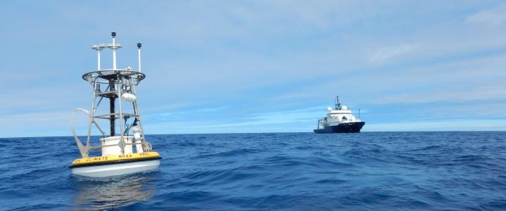
Ocean Station Papa
Nominal Location: 50.1°N, 144.9°W
Mooring Type: Taut-Line
Scope: 0.965 (2015 - Present), 0.985 (2007 - 2014)
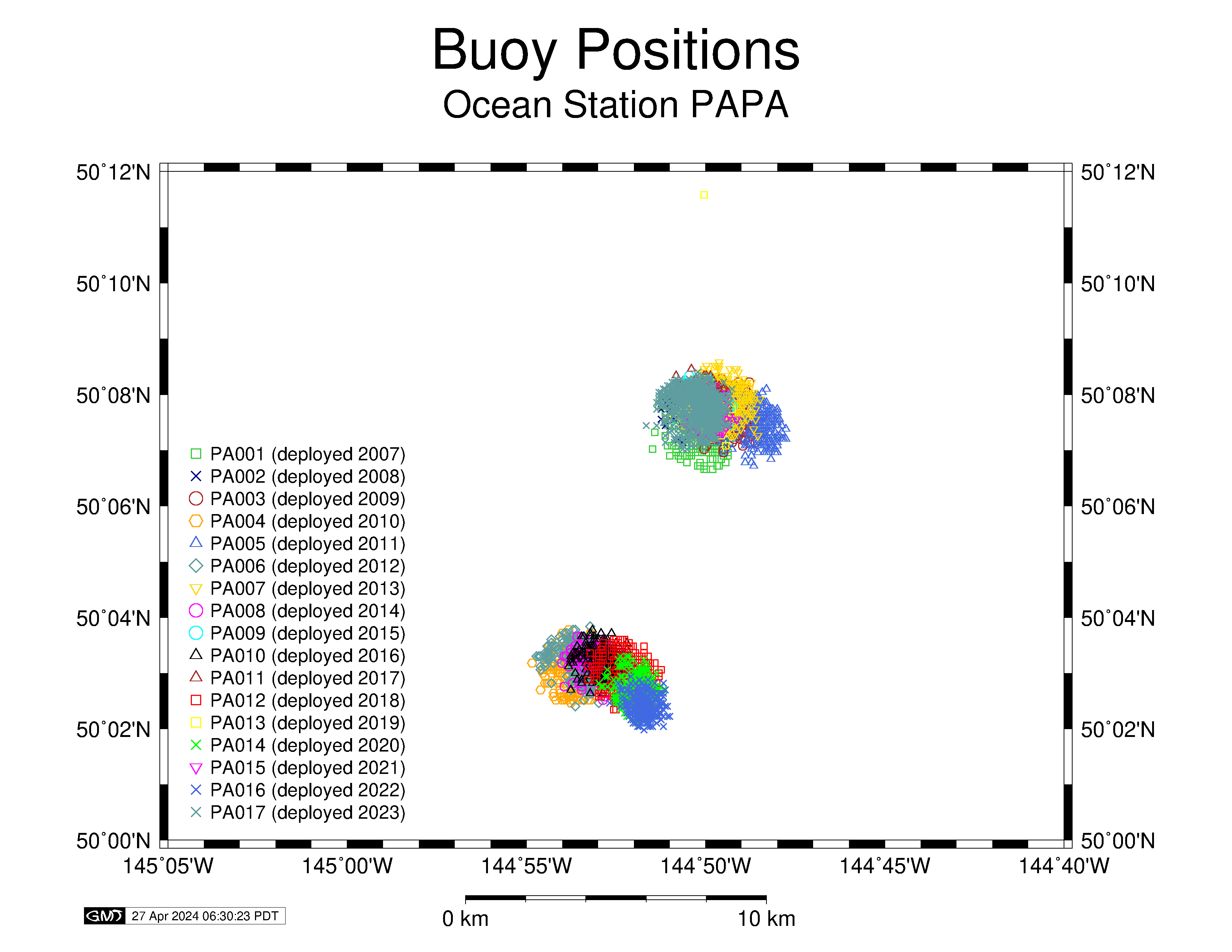
Watch Circle: 1.25km Radius
Avoidance Area: Ships working in the area are requested to observe an avoidance area of at least 3NM radius (5.5km) from the stated anchor position.
Deployment Dates and Positions
Refer to the mooring diagrams (links) in the table below for exact specifications of each deployment. The positions noted in the table indicate the location of the buoy after settling into its watch circle following the anchor drop.
| Mooring | Latitude | Longitude | Deployment Date | Recovery Date | Water Depth (m) |
|---|---|---|---|---|---|
| PA-001 Diagram |
50° 7.1'N | 144° 50.1'W | June 7, 2007 | June 10, 2008 | 4219 |
| PA-002 Diagram |
50° 7.8'N | 144° 49.9'W | June 11, 2008 | Jan. 11, 2009 (srfsc insts only) |
4230 |
| PA-003 Diagram |
50° 7.6'N | 144° 50.2'W | June 13, 2009 | June 17, 2010 | 4218 |
| PA-004 Diagram |
50° 2.8'N | 144° 52.7'W | June 14, 2010 | June 13, 2011 | 4234 |
| PA-005 Diagram |
50° 7.8'N | 144° 49.6'W | June 11, 2011 | June 3, 2012 | 4221 |
| PA-006 Diagram |
50° 3.0'N | 144° 53.5'W | June 2, 2012 | June 18, 2013 | 4234 |
| PA-007 Diagram |
50° 7.7'N | 144° 49.2'W | June 17, 2013 | June 18, 2014 | 4218 |
| PA-008 Diagram |
50° 3.0'N | 144° 52.5'W | June 18, 2014 | June 16, 2015 | 4215 |
| PA-009 Diagram |
50° 7.7'N | 144° 50.0'W | June 15, 2015 | July 5, 2016 | 4217 |
| PA-010 Diagram |
50° 3.3'N | 144° 52.4'W | June 15, 2016 | June 15, 2017 | 4227 |
| PA-011 Diagram |
50° 7.7'N | 144° 49.6'W | June 14, 2017 | July 29, 2018 | 4220 |
| PA-012 Diagram |
50° 3.0'N | 144° 52.4'W | July 22, 2018 | June 13, 2019 | 4227 |
| PA-013 Diagram |
50° 7.7'N | 144° 50.0'W | June 13, 2019 | August 17, 2020 | 4215 |
| PA-014 Diagram |
50° 2.5'N | 144° 51.9'W | August 15, 2020 | April 25, 2021 | 4230 |
| PA-015 Diagram |
50° 8.0'N | 144° 49.6'W | April 25, 2021 | May 24, 2022 | 4218 |
| PA-016 Diagram |
50° 2.3'N | 144° 51.6'W | May 15, 2022 | April 13, 2023 | 4224 |
| PA-017 | 50° 7.8'N | 144° 50.4'W | April 12, 2023 | August 2, 2024 | 4150 |
| TELOS Diagram |
50° 10.8'N | 144° 38.0'W | April 11, 2023 | August 1, 2024 | 4220 |
| PA-018 Diagram |
50° 3.1'N | 144° 53.9'W | July 31, 2024 | Currently Deployed | 4218 |
Blog Page
An OOI Blog Page was created for the Papa cruise aboard the R/V Sikuliaq (May 11 - 30, 2022). Mission updates and other details on the collaborative efforts to extend the life of long-term sampling platforms at Station Papa can be found at the link above.
Special Periods
The PA-002 mooring line separated just below the buoy on Nov. 11, 2008 and all subsurface instruments on the wire were lost. The buoy drifted towards Vancouver Island and was recovered on Jan. 11, 2009.


