2024 NOAA-Saildrone
Atlantic Hurricane Mission
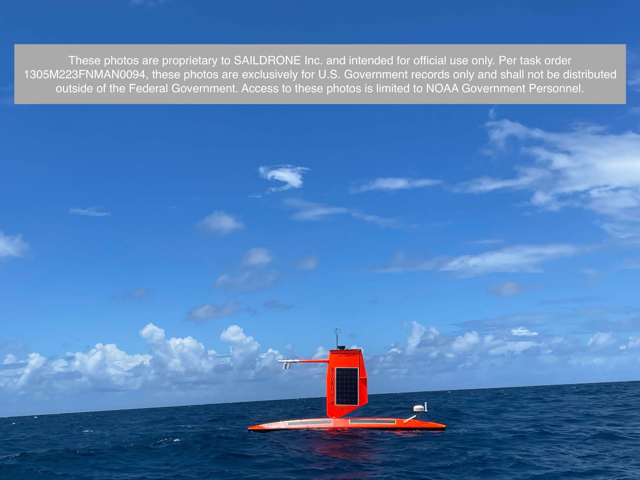
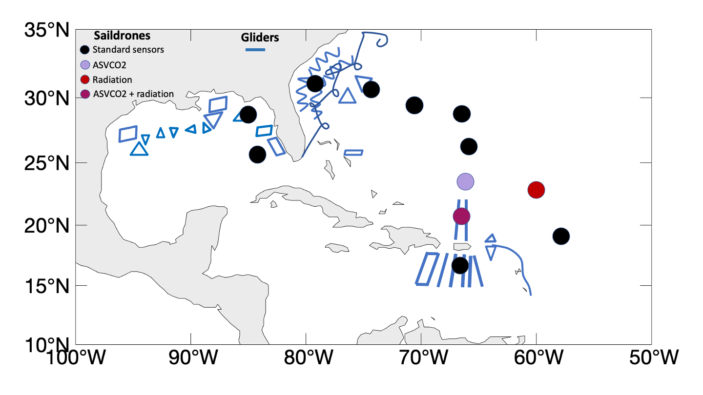
The 2024 NOAA saildrone Atlantic hurricane observation mission includes 12 saildrones in the western Atlantic, Caribbean, and Gulf of Mexico (see deployment map below), following the success of the experimental 2021, 2022, and 2023 missions. New to the 2024 mission are sensors for measurement of surface carbon fluxes. Keep up with the progress of the 2024 mission on its blog.
Objectives
(1) Measure near-surface atmospheric and upper-ocean parameters to calculate energy, momentum and CO2 fluxes between the atmosphere and ocean outside and within hurricanes.
(2) Synchronize the deployments of saildrones and other uncrewed systems (ocean gliders, aerial drones) and conventional assets (moored buoys, drifters airborne atmospheric dropsondes and oceanic profilers) to measure the air-sea transition zone (upper ocean, air-sea interface, and marine atmospheric boundary layer).
(3) Transmit data in real time to operational weather prediction centers to improve atmosphere-ocean initial conditions in forecast models.
(4) Transmit data in real time to the National Hurricane Center (NHC) to assist hurricane forecasters in their efforts to assess hurricane strength and inform the public.
(5) Apply the observations to understand how air-sea interaction affects hurricane intensity and to advance hurricane prediction models.
Deployments
Saildrone observations cover a broad area from the Gulf of Mexico to the western tropical Atlantic Ocean. The designated observing locations (marked by dots in the map below) have high chances of hurricane occurrence. Observations are sent to worldwide weather prediction centers in real time for their operational forecasts and to NOAA National Hurricane Center (NHC) to assist hurricane forecasters assessing hurricane strength and informing the public. Data are released for public use in near real time. This project also involves partnerships with NOAA's Environmental Modeling Center (EMC) of the National Weather Service and the CoastWatch of NOAA's National Environmental Satellite and Data Information Service (NESDIS).
NOAA Mission Team:
Gregory Foltz, NOAA AOML (Co-Lead)
Chidong Zhang, NOAA PMEL (Co-Lead)
Lev Looney, NOAA AOML/University of Miami
Andy Chiodi, NOAA PMEL/University of Washington
Dongxiao Zhang, NOAA PMEL/University of Washington
Edward (Ned) Cokelet, NOAA PMEL
Nan-Hsun Chi, NOAA PMEL/University of Washington
Edoardo Mazza, NOAA PMEL/University of Washington
Eugene Burger, NOAA PMEL
Kevin O'Brien, NOAA PMEL/University of Washington
Catherine Edwards, Skidaway Institute of Oceanography, University of Georgia
Jun Zhang, NOAA AOML/University of Miami
Matthieu Le Henaff, NOAA AOML/University of Miami
Kathleen E. Bailey, U.S. Integrated Ocean Observing System
Joaquin Trinanes, NOAA AOML/University of Santiago, Spain
Francis Bringas, NOAA AOML
Sandra Bringas, NOAA AOML/University of Miami
Hyun-Sook Kim, NOAA AOML
This mission is supported by NOAA's Office of Marine and Aviation Operations (OMAO) Uncrewed Systems Operations Center, with additional support from NOAA/PMEL and NOAA/AOML, and in collaboration with Saildrone, Inc.