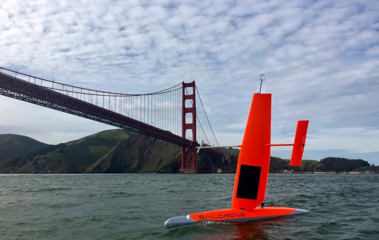
On September 1, two saildrones launched from the Saildrone Inc. dock in Alameda, CA to begin their six-month, 8,000-nautical-mile, round-trip mission to the equator to improve the Tropical Pacific Observing System (TPOS). These saildrones are a component of a broader effort to rethink the Tropical Pacific Observing System (TPOS) that supports sub-seasonal to seasonal forecasting for the US. TPOS provides real-time data used by the US and partner nations to forecast weather and climate, including El Nino. The mission will be testing if this new, enhanced tool can collect a variety of measurements at a quality that matches research ships and proven mooring technology, Tropical Atmosphere Ocean (TAO) array. If this is the case, they may become a powerful tool to provide key observations for weather forecasts.
The saildrones are headed to the California Current Ecosystem (CCE) for a short test before taking part in a larger field study with NASA at the NASA SPURS study site in the eastern Tropical Pacific. The saildrones will perform an intercomparison with the Woods Hole Oceanographic Institution’s (WHOI) buoy and collect observational date in the study site. The saildrones will also do a calibration exercise with a research ship to ensure the accuracy and quality of the measurements that are being collected. This is particularly important to scientists when testing new sensors and technologies. Then the saildrones will travel south to the equator to do intercomparisons with the TAO moorings before heading back to Alameda, CA.
If the mission is successful, the improved data collection can help improve forecasts for El Nino’s and other weather phenomena that develop in the tropical Pacific and strongly impact North American weather patterns.
Read more about the Saildrone missions in the Arctic and the Tropical Pacific here.


