CRIMP
Coral Reef Instrumented Monitoring Platform (21.43°N, 157.79°W)
Kaneohe Bay, located on the eastern side of Oahu, Hawaii, is a complex estuarine system with a large barrier coral reef, numerous patch reefs, fringing reefs, and several riverine inputs. Kaneohe Bay is 12.7 km long and 4.3 km wide, making it the largest sheltered body of water in Hawaii. About a dozen streams empty into the bay. Northeasterly (Trade) winds prevail during half of the year and tides in Kaneohe Bay are semi-diurnal with a mean tidal amplitude of approximately 68 cm day-1. Kaneohe Bay can be divided into an inner bay that includes waters landward of the barrier reef and an outer bay that includes water over the barrier reef. The inner bay waters can be subdivided into three different sectors: the northern, central, and southern bays. Water generally flows from the open ocean over the barrier reef into the central bay and then flows out through two channels: a deep shipping channel in the northern bay and the Sampan Channel in the central bay. While the northern and central bay exchange water relatively freely with the open ocean, the southern bay is partially enclosed by the Mokapu Peninsula and Coconut (Moku O Lo'e) Island thereby restricting circulation with the open ocean and the rest of the bay.
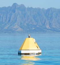
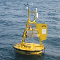
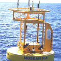
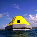
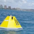
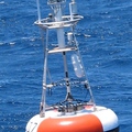
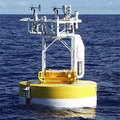
PMEL's carbon group worked with collaborators from the University of Hawaii Department of Oceanography to install a moored buoy in Southern Kaneohe Bay with a MAPCO2TM system. Eric DeCarlo (UH) also mounted instruments on the mooring that measured a variety of biogeochemical parameters. These data are used to evaluate the temporal variability in air-sea CO2 fluxes and to assist in examining the mechanisms controlling CO2 fluxes. The mooring was in place from November 2005 to June 2008 when it was moved to a location further north closer to the bay's fringing reef structure. The new site is called CRIMP2.
For more background on Kaneohe Bay and information about the mooring and sensors please visit the Coral Reef Instrumented Monitoring Platform (CRIMP) website.
Data availability: archived at NCEI.

