Ka'imimoana
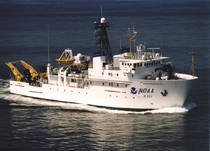
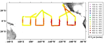
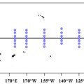
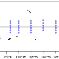
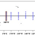
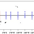
The CO2 group at PMEL gathered surface pCO2 measurements on board the NOAA Ship Ka'imimoana from 1996 through 2010 as a companion project to the biannual servicing of the Tropical Atmosphere Ocean (TAO) Array moorings. Each cruise generally occupied two of the TAO Lines: 165°E and 180°, 170°W and 155°W, 140°W and 125°W,° 110°W and 95°W. The cruises during the 15-year period included 77 transects of the equatorial Pacific between 95°W and 165°E, and spanned several El Niño events.
Data can be accessed from the National Centers for Environmental Information (NCEI) and from the Surface Ocean CO2 Atlas (SOCAT)
Details and links to data for each cruise are also listed in this table:
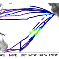
Plots of surface pCO2 collected on the Ka'imimoana are shown below.

